About us
About Us
Who We Are
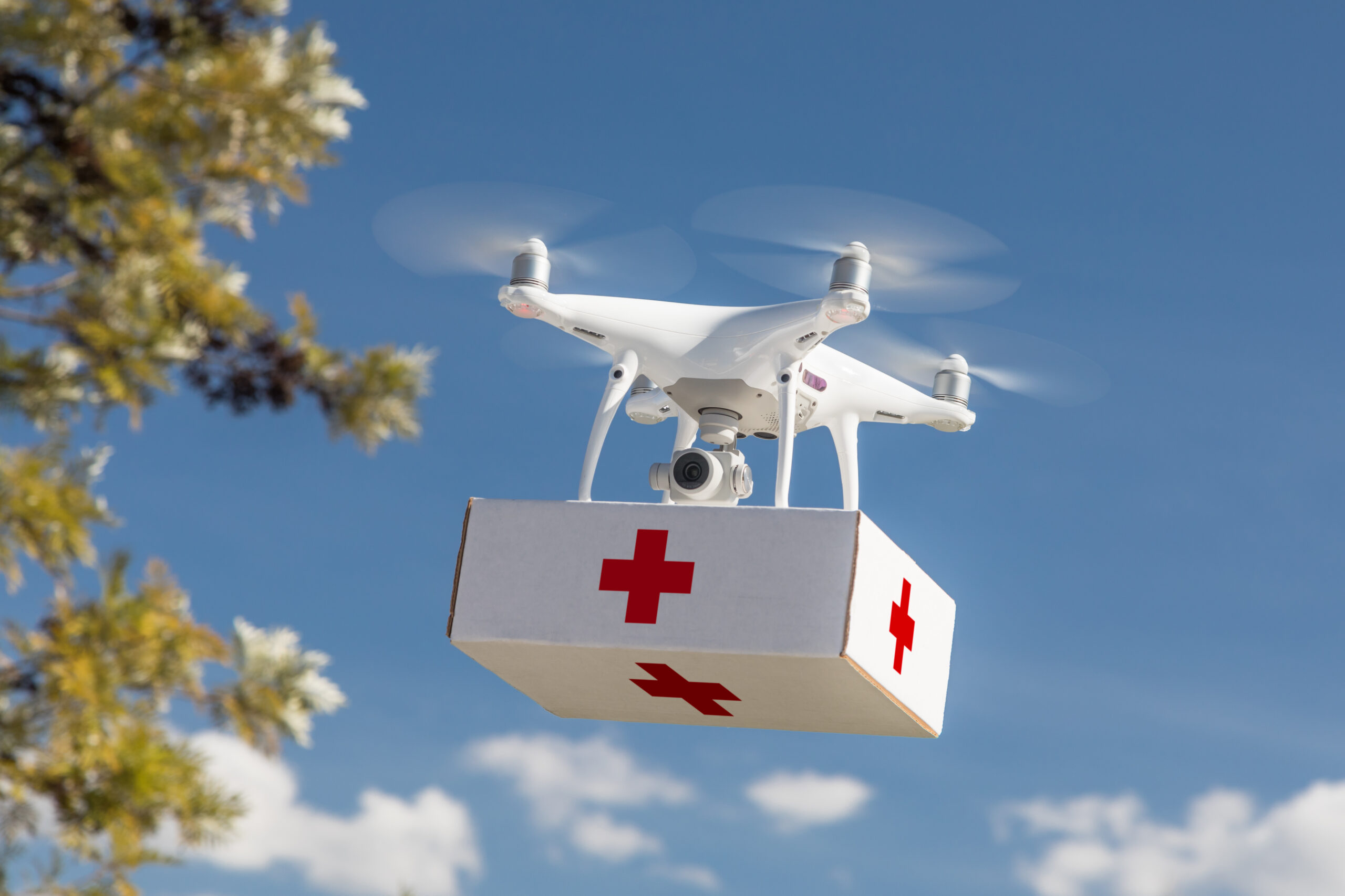
We are a pioneering medical research and drone technology company dedicated to transforming healthcare access. Our flagship project—an end‑to‑end Drone‑HEALTH CARE RADIOLOGICAL AND LABORATORY SERVICES—brings diagnostics to the patient, enabling rapid, remote, and safe imaging that supports faster clinical decisions.
Our vision is to eliminate barriers to care for rural communities, disaster‑impacted regions, and patients with limited mobility. By uniting aerospace engineering with medical devices and data science, we design solutions guided by accessibility, precision, and compassion.
Backed by a multidisciplinary team of clinicians, engineers, and data scientists, we apply the same rigor to non‑medical domains—agriculture, security, cinematography, and logistics—where autonomy and safety are equally mission‑critical.
- Portable imaging at point of care
- Route optimization with GIS and ML
- Safety, privacy, and compliance by design
- Multidisciplinary R&D and field validation
What we offer
Shaping the Future Through Research
Our innovations are built on cutting‑edge science across multiple disciplines—driving reliable flight, accurate diagnostics, and secure data handling.
AI models assist clinicians by highlighting anomalies in X‑rays and accelerating interpretation—supporting faster, more confident decisions at the point of care. Beyond imaging, AI optimizes flight planning, battery usage, and risk‑aware rerouting to improve reliability, reach, and energy efficiency across missions. We embed ethical frameworks and privacy safeguards to protect sensitive health data while enabling trustworthy, human‑centered AI.
Immersive simulators prepare pilots for real‑world operations—weather variance, emergency procedures, and medical payload handling—without field risk. Scenario libraries span healthcare logistics, agricultural flights, and surveying—building domain readiness before live deployment. This training standard reduces incidents, raises mission success rates, and instills repeatable operational discipline.
Advanced GIS fuses terrain, weather, and regulatory airspace data to chart safe, efficient routes to remote or underserved locations. Dynamic geofencing and hazard avoidance keep missions compliant and resilient, even in complex environments. The same stack powers precision agriculture, forestry monitoring, and disaster assessment with high‑value geospatial insights.
Lightweight nanomaterials increase endurance and payload capacity while improving structural strength and fatigue resistance. Specialized coatings enhance durability and contribute to radiation safety for portable X‑ray assemblies and sensitive components. Future nano‑sensor integrations can extend missions to environmental monitoring and advanced diagnostics.
ML predicts maintenance needs and component wear, preventing downtime and extending fleet life via condition‑based care. Image pipelines leverage ML for noise reduction, anomaly detection, and triage—improving diagnostic signal quality. Adaptive autonomy enables obstacle avoidance and weather‑aware rerouting for safer, smarter flights.